The Hydrographic Institute of the Navy is the Cartographic Institute of the State designated for the production of the official national nautical documentation.

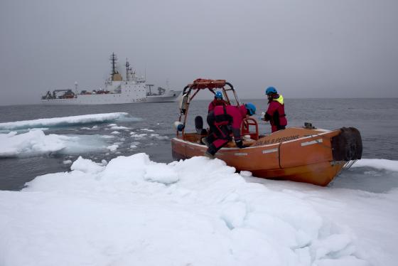
It carries out systematic surveys of the Italian seas using hydro-oceanographic vessels of the Navy specially equipped to produce nautical charts and documents in traditional and electronic format.
In collaboration with the University of Genoa, the Master of Science in Marine Geodesy for Hydrography is offered. The program is open to both Italian Navy and foreign military personnel, as well as civilian graduates in technical and scientific fields. Among the subjects studied, the complex management of coasts and coasts, maritime infrastructures, geological, geophysical and environmental problems connected to the sea.
The headquarters of the Institute and the location of the master's lessons, is the nineteenth-century Forte San Giorgio at the Passo dell'Osservatorio 4, Genova
e-mail: iim.corsi@marina.difesa.it
